Maes Crugiau in the village of Penparcau, Ceredigion
Introduction
The photograph on this page of Maes Crugiau in the village of Penparcau, Ceredigion by Wales as part of the Geograph project.
The Geograph project started in 2005 with the aim of publishing, organising and preserving representative images for every square kilometre of Great Britain, Ireland and the Isle of Man.

There are currently over 7.5m images from over 14,400 individuals and you can help contribute to the project by visiting https://www.geograph.org.uk
Maes Crugiau in the village of Penparcau, Ceredigion
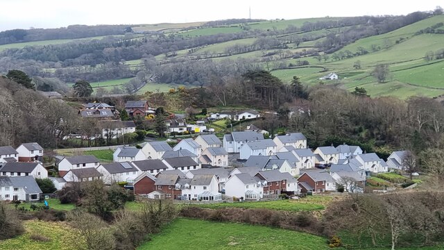
Image: © Wales Taken: 28 Mar 2021
This is a picture of Maes Crugiau in the village of Penparcau (nr Aberystwyth) in the county of Ceredigion, Wales. The picture was taken from the Iron Age Hillfort (Pen Dinas) in the same village.
Images are licensed for reuse under creativecommons.org/licenses/by-sa/2.0
Image Location
Latitude
52.396335
Longitude
-4.071358