Bus stop on North side of B6265 in Eastburn
Introduction
The photograph on this page of Bus stop on North side of B6265 in Eastburn by Roger Templeman as part of the Geograph project.
The Geograph project started in 2005 with the aim of publishing, organising and preserving representative images for every square kilometre of Great Britain, Ireland and the Isle of Man.

There are currently over 7.5m images from over 14,400 individuals and you can help contribute to the project by visiting https://www.geograph.org.uk
Bus stop on North side of B6265 in Eastburn
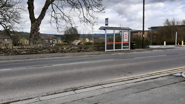
Image: © Roger Templeman Taken: 25 Mar 2021
Ordnance Survey records indicate that a benchmark levelled at 105.982m above Newlyn Datum was verified on a bus shelter in 1962 at this location. I assume this would have been on a stone built shelter previously here.
Images are licensed for reuse under creativecommons.org/licenses/by-sa/2.0
Image Location
Latitude
53.896399
Longitude
-1.969529