Worlington village sign
Introduction
The photograph on this page of Worlington village sign by Adrian S Pye as part of the Geograph project.
The Geograph project started in 2005 with the aim of publishing, organising and preserving representative images for every square kilometre of Great Britain, Ireland and the Isle of Man.

There are currently over 7.5m images from over 14,400 individuals and you can help contribute to the project by visiting https://www.geograph.org.uk
Worlington village sign
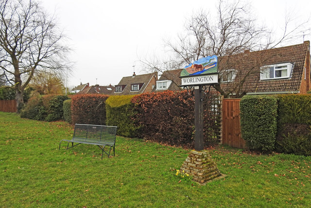
Image: © Adrian S Pye Taken: 2 Mar 2021
The Worlington sign depicts a horse towing a barge containing malted barley to the brewery at Ely along the River Lark. The River Lark was navigable almost as far as Bury St Edmunds thirteen miles to the southeast. In the opposite direction it was the route by which good Suffolk barley was transported to the brewery at Ely, thirteen miles to the northwest. https://www.geograph.org.uk/photo/6788023
Images are licensed for reuse under creativecommons.org/licenses/by-sa/2.0
Image Location
Latitude
52.334113
Longitude
0.479728