Croft Farm and West Malvern
Introduction
The photograph on this page of Croft Farm and West Malvern by PETER HIGGINS as part of the Geograph project.
The Geograph project started in 2005 with the aim of publishing, organising and preserving representative images for every square kilometre of Great Britain, Ireland and the Isle of Man.

There are currently over 7.5m images from over 14,400 individuals and you can help contribute to the project by visiting https://www.geograph.org.uk
Croft Farm and West Malvern
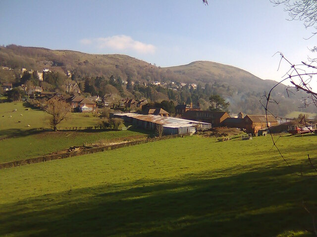
Image: © PETER HIGGINS Taken: 28 Feb 2021
The less salubrious side of Croft Farm seen from the edge of Cother Wood with West Malvern and the Malvern Hills in the background. Sugar Loaf is on the left and The Worcestershire Beacon on the right.
Images are licensed for reuse under creativecommons.org/licenses/by-sa/2.0
Image Location
Latitude
52.113503
Longitude
-2.353203