Field with cattle beyond dry stone wall
Introduction
The photograph on this page of Field with cattle beyond dry stone wall by Trevor Littlewood as part of the Geograph project.
The Geograph project started in 2005 with the aim of publishing, organising and preserving representative images for every square kilometre of Great Britain, Ireland and the Isle of Man.

There are currently over 7.5m images from over 14,400 individuals and you can help contribute to the project by visiting https://www.geograph.org.uk
Field with cattle beyond dry stone wall
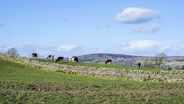
Image: © Trevor Littlewood Taken: 24 Mar 2021
Fields north of the settlement at Hunderthwaite seen from a field path alongside another wall. The distant moorland hill is part of Eggleston Common.
Images are licensed for reuse under creativecommons.org/licenses/by-sa/2.0
Image Location
Latitude
54.589589
Longitude
-2.027667