Benchmark on an archway
Introduction
The photograph on this page of Benchmark on an archway by Neville Goodman as part of the Geograph project.
The Geograph project started in 2005 with the aim of publishing, organising and preserving representative images for every square kilometre of Great Britain, Ireland and the Isle of Man.

There are currently over 7.5m images from over 14,400 individuals and you can help contribute to the project by visiting https://www.geograph.org.uk
Benchmark on an archway
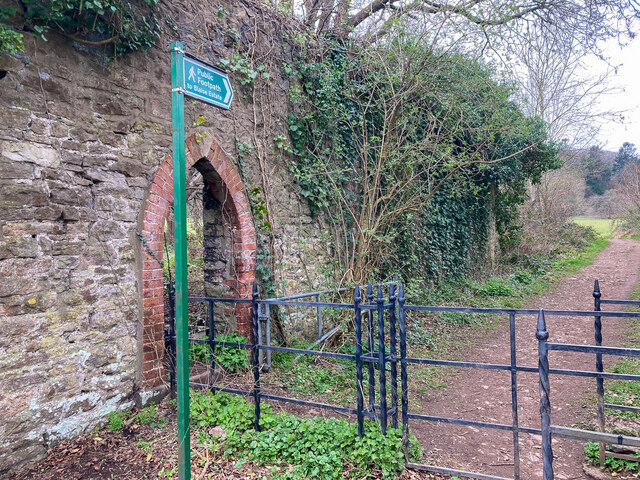
Image: © Neville Goodman Taken: 23 Mar 2021
This is one of the paths leading into the Blaise estate - which has been a wonderful green space during this year (20-21) of lockdowns. There is a benchmark Image on the lower portion of the far limb of the archway.
Images are licensed for reuse under creativecommons.org/licenses/by-sa/2.0
Image Location


Leaflet Map data © OpenStreetMap
Latitude
51.503575
Longitude
-2.627103