Spey Road
Introduction
The photograph on this page of Spey Road by Anne Burgess as part of the Geograph project.
The Geograph project started in 2005 with the aim of publishing, organising and preserving representative images for every square kilometre of Great Britain, Ireland and the Isle of Man.

There are currently over 7.5m images from over 14,400 individuals and you can help contribute to the project by visiting https://www.geograph.org.uk
Spey Road
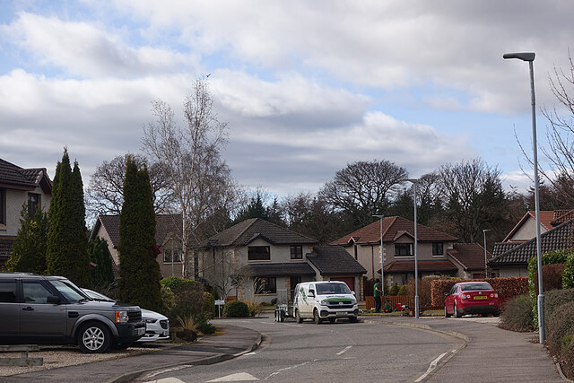
Image: © Anne Burgess Taken: 18 Mar 2021
Most of the houses in Spey Road are two-storey and deatched, though there are some semi-detached and bungalows.
Images are licensed for reuse under creativecommons.org/licenses/by-sa/2.0
Image Location
Latitude
57.61067
Longitude
-3.104094