Bridge House Tang
Introduction
The photograph on this page of Bridge House Tang by Gordon Hatton as part of the Geograph project.
The Geograph project started in 2005 with the aim of publishing, organising and preserving representative images for every square kilometre of Great Britain, Ireland and the Isle of Man.

There are currently over 7.5m images from over 14,400 individuals and you can help contribute to the project by visiting https://www.geograph.org.uk
Bridge House Tang
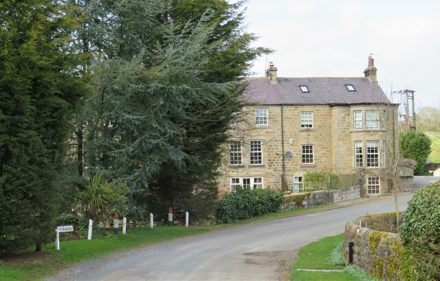
Image: © Gordon Hatton Taken: 21 Mar 2021
Looking at this 19thC building, which extends behind the trees to the left, I assumed that it might be an old flax mill, of which there are several in the area. A convenient stream flows past the building as well. However, a search through old maps reveals nothing more than 'Bridge House' whilst the building isn't shown at all on first edition 6" maps - so it looks as though my assumption was wrong.
Images are licensed for reuse under creativecommons.org/licenses/by-sa/2.0
Image Location
Latitude
54.015959
Longitude
-1.64606