Grassy area and the rear of Battenhall Rise, Worcester
Introduction
The photograph on this page of Grassy area and the rear of Battenhall Rise, Worcester by Chris Allen as part of the Geograph project.
The Geograph project started in 2005 with the aim of publishing, organising and preserving representative images for every square kilometre of Great Britain, Ireland and the Isle of Man.

There are currently over 7.5m images from over 14,400 individuals and you can help contribute to the project by visiting https://www.geograph.org.uk
Grassy area and the rear of Battenhall Rise, Worcester
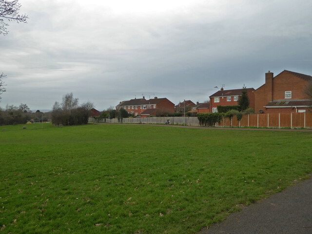
Image: © Chris Allen Taken: 8 Jan 2020
A grassy space between the older housing stock of Battenhall and the newer development of St Peter the Great (out of sight to the left).
Images are licensed for reuse under creativecommons.org/licenses/by-sa/2.0
Image Location
Latitude
52.175627
Longitude
-2.199857