Lund Lane
Introduction
The photograph on this page of Lund Lane by Gordon Hatton as part of the Geograph project.
The Geograph project started in 2005 with the aim of publishing, organising and preserving representative images for every square kilometre of Great Britain, Ireland and the Isle of Man.

There are currently over 7.5m images from over 14,400 individuals and you can help contribute to the project by visiting https://www.geograph.org.uk
Lund Lane
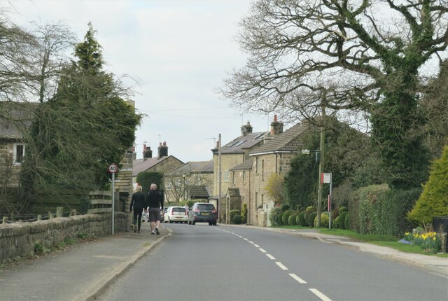
Image: © Gordon Hatton Taken: 21 Mar 2021
There's a group of houses here forming a small settlement along Lund Lane. Not quite Hampsthwaite and not quite Killinghall, but within the latter parish.
Images are licensed for reuse under creativecommons.org/licenses/by-sa/2.0
Image Location
Latitude
54.016285
Longitude
-1.579824