Standing stone, Nether Silton
Introduction
The photograph on this page of Standing stone, Nether Silton by Gordon Hatton as part of the Geograph project.
The Geograph project started in 2005 with the aim of publishing, organising and preserving representative images for every square kilometre of Great Britain, Ireland and the Isle of Man.

There are currently over 7.5m images from over 14,400 individuals and you can help contribute to the project by visiting https://www.geograph.org.uk
Standing stone, Nether Silton
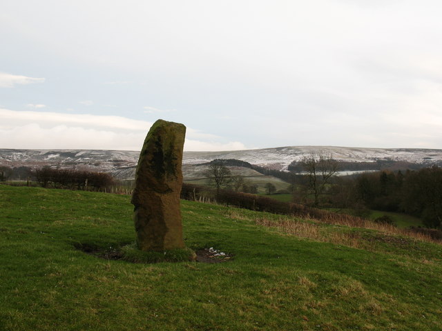
Image: © Gordon Hatton Taken: 2 Feb 2008
This 5ft high stone stands in a field to the south of the church and is dated 1765 [see other photo]. Looking east towards light snow cover on the Hambleton Hills.
Images are licensed for reuse under creativecommons.org/licenses/by-sa/2.0
Image Location


Leaflet Map data © OpenStreetMap
Latitude
54.323705
Longitude
-1.299796