Converted farm building at Orton Grange on NW side A595
Introduction
The photograph on this page of Converted farm building at Orton Grange on NW side A595 by Luke Shaw as part of the Geograph project.
The Geograph project started in 2005 with the aim of publishing, organising and preserving representative images for every square kilometre of Great Britain, Ireland and the Isle of Man.

There are currently over 7.5m images from over 14,400 individuals and you can help contribute to the project by visiting https://www.geograph.org.uk
Converted farm building at Orton Grange on NW side A595
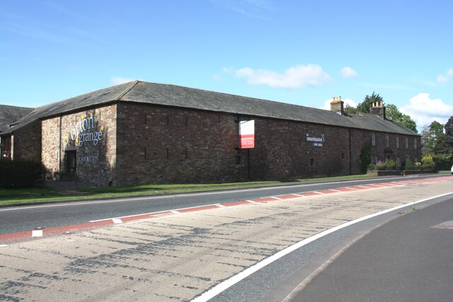
Image: © Luke Shaw Taken: 8 Aug 2019
The building incorporates a cafe/gift shop, food hall and hairdressers. There is an Ordnance Survey benchmark Image on the near corner, road face, of the building
Images are licensed for reuse under creativecommons.org/licenses/by-sa/2.0
Image Location


Leaflet Map data © OpenStreetMap
Latitude
54.85831
Longitude
-3.010335