Road direction sign, Aberbargoed
Introduction
The photograph on this page of Road direction sign, Aberbargoed by M J Roscoe as part of the Geograph project.
The Geograph project started in 2005 with the aim of publishing, organising and preserving representative images for every square kilometre of Great Britain, Ireland and the Isle of Man.

There are currently over 7.5m images from over 14,400 individuals and you can help contribute to the project by visiting https://www.geograph.org.uk
Road direction sign, Aberbargoed
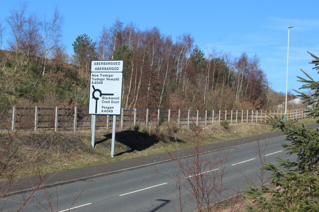
Image: © M J Roscoe Taken: 16 Mar 2021
Bilingual sign on link road between A469 and A4049. The land beyond the fence is part of Bargoed Woodland Park, all on reclaimed land.
Images are licensed for reuse under creativecommons.org/licenses/by-sa/2.0
Image Location
Latitude
51.68413
Longitude
-3.220634