Benchmark on felled gatepost beside farmland track east of Cardewlees Farm
Introduction
The photograph on this page of Benchmark on felled gatepost beside farmland track east of Cardewlees Farm by Luke Shaw as part of the Geograph project.
The Geograph project started in 2005 with the aim of publishing, organising and preserving representative images for every square kilometre of Great Britain, Ireland and the Isle of Man.

There are currently over 7.5m images from over 14,400 individuals and you can help contribute to the project by visiting https://www.geograph.org.uk
Benchmark on felled gatepost beside farmland track east of Cardewlees Farm
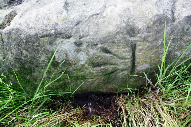
Image: © Luke Shaw Taken: 8 Aug 2019
Ordnance Survey documents indicate that a benchmark levelled at 48.927m above Newlyn Datum was verified in 1969 on a gatepost at this location. More information may be found on the Bench Mark Database at www.bench-marks.org.uk/bm112310
Images are licensed for reuse under creativecommons.org/licenses/by-sa/2.0
Image Location
Latitude
54.850293
Longitude
-3.001724