Cefn Manor
Introduction
The photograph on this page of Cefn Manor by Alan Hughes as part of the Geograph project.
The Geograph project started in 2005 with the aim of publishing, organising and preserving representative images for every square kilometre of Great Britain, Ireland and the Isle of Man.

There are currently over 7.5m images from over 14,400 individuals and you can help contribute to the project by visiting https://www.geograph.org.uk
Cefn Manor
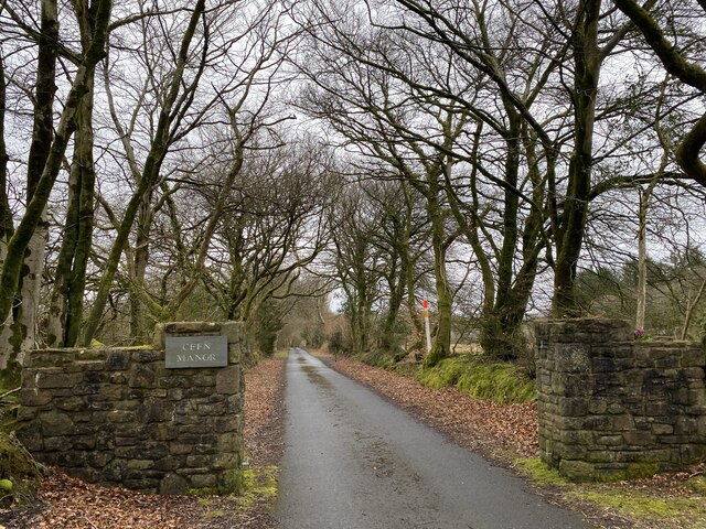
Image: © Alan Hughes Taken: 16 Mar 2021
A footpath leads through the estate, marked on the map as Mînhurtach, towards Horeb.
Images are licensed for reuse under creativecommons.org/licenses/by-sa/2.0
Image Location
Latitude
51.721369
Longitude
-4.181957