Path from Holly Mount to Tunnel Hill, Worcester
Introduction
The photograph on this page of Path from Holly Mount to Tunnel Hill, Worcester by Chris Allen as part of the Geograph project.
The Geograph project started in 2005 with the aim of publishing, organising and preserving representative images for every square kilometre of Great Britain, Ireland and the Isle of Man.

There are currently over 7.5m images from over 14,400 individuals and you can help contribute to the project by visiting https://www.geograph.org.uk
Path from Holly Mount to Tunnel Hill, Worcester
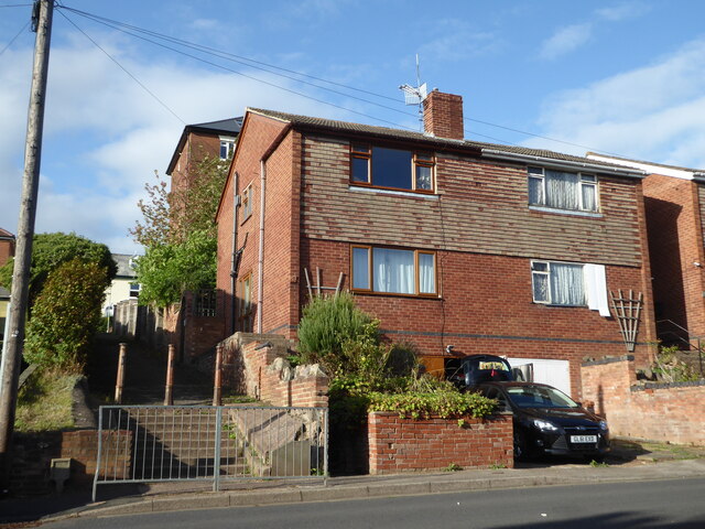
Image: © Chris Allen Taken: 26 Sep 2019
A length of public footpath leading towards two houses that are very prominent in Worcester, being both tall in themselves and at a high point.
Images are licensed for reuse under creativecommons.org/licenses/by-sa/2.0
Image Location
Latitude
52.200973
Longitude
-2.20436