Houses on west side of The Green (B5299)
Introduction
The photograph on this page of Houses on west side of The Green (B5299) by Luke Shaw as part of the Geograph project.
The Geograph project started in 2005 with the aim of publishing, organising and preserving representative images for every square kilometre of Great Britain, Ireland and the Isle of Man.

There are currently over 7.5m images from over 14,400 individuals and you can help contribute to the project by visiting https://www.geograph.org.uk
Houses on west side of The Green (B5299)
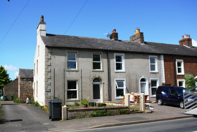
Image: © Luke Shaw Taken: 8 Aug 2019
There is an Ordnance Survey benchmark Image at base of the gatepost at the left hand end of the wall fronting the left hand house
Images are licensed for reuse under creativecommons.org/licenses/by-sa/2.0
Image Location


Leaflet Map data © OpenStreetMap
Latitude
54.837673
Longitude
-2.98444