Path beside former Chesterfield Canal
Introduction
The photograph on this page of Path beside former Chesterfield Canal by Chris Morgan as part of the Geograph project.
The Geograph project started in 2005 with the aim of publishing, organising and preserving representative images for every square kilometre of Great Britain, Ireland and the Isle of Man.

There are currently over 7.5m images from over 14,400 individuals and you can help contribute to the project by visiting https://www.geograph.org.uk
Path beside former Chesterfield Canal
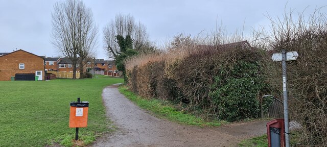
Image: © Chris Morgan Taken: 8 Mar 2021
The canal is long disused and dry at this point, behind the hedge.
Images are licensed for reuse under creativecommons.org/licenses/by-sa/2.0
Image Location
Latitude
53.322192
Longitude
-1.321096