Path to Rother Valley Lake
Introduction
The photograph on this page of Path to Rother Valley Lake by Chris Morgan as part of the Geograph project.
The Geograph project started in 2005 with the aim of publishing, organising and preserving representative images for every square kilometre of Great Britain, Ireland and the Isle of Man.

There are currently over 7.5m images from over 14,400 individuals and you can help contribute to the project by visiting https://www.geograph.org.uk
Path to Rother Valley Lake
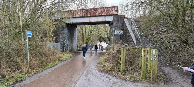
Image: © Chris Morgan Taken: 8 Mar 2021
Below dismantled old Great Central Railway line, on the Trans Pennine Trail
Images are licensed for reuse under creativecommons.org/licenses/by-sa/2.0
Image Location


Leaflet Map data © OpenStreetMap
Latitude
53.33687
Longitude
-1.325819