Former School, Church Way, Earsdon
Introduction
The photograph on this page of Former School, Church Way, Earsdon by Geoff Holland as part of the Geograph project.
The Geograph project started in 2005 with the aim of publishing, organising and preserving representative images for every square kilometre of Great Britain, Ireland and the Isle of Man.

There are currently over 7.5m images from over 14,400 individuals and you can help contribute to the project by visiting https://www.geograph.org.uk
Former School, Church Way, Earsdon
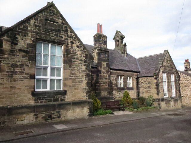
Image: © Geoff Holland Taken: 12 Mar 2021
When the first edition of The Ordnance Survey Six-Inch map of the area was published in 1865, Earsdon had a school, pictured here, a post office and three inns: the Phoenix, the Cannon and the Red Lion. A plaque, on the central chimney stack of this building, states the school was built in 1856, whilst a second plaque shows that the building was extended in 1893. The building is now used as a Community Centre. For a selection of detailed free to download walking routes in the area visit www.northtynesidewalks.co.uk
Images are licensed for reuse under creativecommons.org/licenses/by-sa/2.0
Image Location
Latitude
55.04624
Longitude
-1.498691