Development Map
Introduction
The photograph on this page of Development Map by Anthony O'Neil as part of the Geograph project.
The Geograph project started in 2005 with the aim of publishing, organising and preserving representative images for every square kilometre of Great Britain, Ireland and the Isle of Man.

There are currently over 7.5m images from over 14,400 individuals and you can help contribute to the project by visiting https://www.geograph.org.uk
Development Map
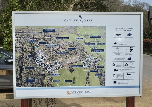
Image: © Anthony O'Neil Taken: 9 Mar 2021
Illustrating the extensive housing and landscaping work under way at the former Barrow Hospital site. The Park is named for Bristol's leading architect - Sir George Oatley - who designed the original hospital buildings and, more famously, the Wills Building at Bristol University.
Images are licensed for reuse under creativecommons.org/licenses/by-sa/2.0
Image Location
Latitude
51.416061
Longitude
-2.664443