Along Sunnyvale, Raglan, Monmouthshire
Introduction
The photograph on this page of Along Sunnyvale, Raglan, Monmouthshire by Jaggery as part of the Geograph project.
The Geograph project started in 2005 with the aim of publishing, organising and preserving representative images for every square kilometre of Great Britain, Ireland and the Isle of Man.

There are currently over 7.5m images from over 14,400 individuals and you can help contribute to the project by visiting https://www.geograph.org.uk
Along Sunnyvale, Raglan, Monmouthshire
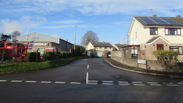
Image: © Jaggery Taken: 22 Nov 2020
The southeast part of dead end Sunnyvale viewed across Usk Road in November 2020. Most references show Sunnyvale, though the name sign on the right shows Sunny Vale.
Images are licensed for reuse under creativecommons.org/licenses/by-sa/2.0
Image Location
Latitude
51.763323
Longitude
-2.857032