Baker Street, Rugby
Introduction
The photograph on this page of Baker Street, Rugby by Stephen McKay as part of the Geograph project.
The Geograph project started in 2005 with the aim of publishing, organising and preserving representative images for every square kilometre of Great Britain, Ireland and the Isle of Man.

There are currently over 7.5m images from over 14,400 individuals and you can help contribute to the project by visiting https://www.geograph.org.uk
Baker Street, Rugby
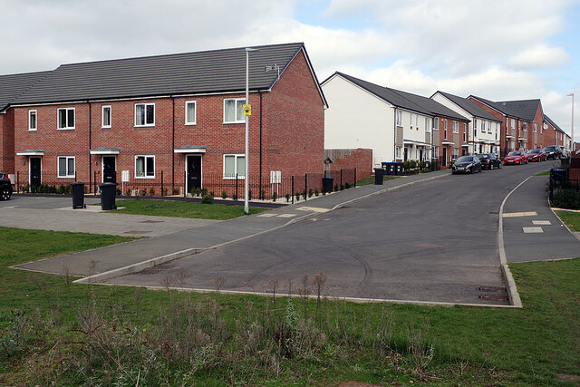
Image: © Stephen McKay Taken: 9 Mar 2021
Part of the St Modwen 'Edison Place' development built on land that was part of the GEC works.
Images are licensed for reuse under creativecommons.org/licenses/by-sa/2.0
Image Location
Latitude
52.382144
Longitude
-1.259645