Viaduct Cycleway
Introduction
The photograph on this page of Viaduct Cycleway by Stephen McKay as part of the Geograph project.
The Geograph project started in 2005 with the aim of publishing, organising and preserving representative images for every square kilometre of Great Britain, Ireland and the Isle of Man.

There are currently over 7.5m images from over 14,400 individuals and you can help contribute to the project by visiting https://www.geograph.org.uk
Viaduct Cycleway
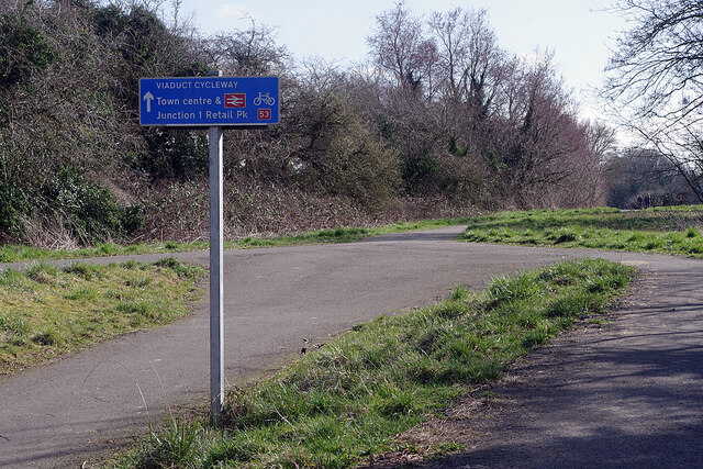
Image: © Stephen McKay Taken: 9 Mar 2021
The sign points along the Viaduct Cycleway towards Rugby town centre and the Junction 1 Retail Park. It is located where there is an access point from both Newbold Glebe housing estate and Glebe Farm industrial estate. Note that the sign has the Sustrans route number 53; at the moment route 53 is under development in Warwickshire and is not, as yet at least, official.
Images are licensed for reuse under creativecommons.org/licenses/by-sa/2.0
Image Location
Latitude
52.388494
Longitude
-1.268796