Dead End
Introduction
The photograph on this page of Dead End by Chris Thomas-Atkin as part of the Geograph project.
The Geograph project started in 2005 with the aim of publishing, organising and preserving representative images for every square kilometre of Great Britain, Ireland and the Isle of Man.

There are currently over 7.5m images from over 14,400 individuals and you can help contribute to the project by visiting https://www.geograph.org.uk
Dead End
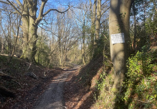
Image: © Chris Thomas-Atkin Taken: 7 Mar 2021
The sign on the tree indicates that the bridleway (path number 5N) is dead end with only private access. The bridleway runs past private properties to come to an end beside the A23. However, there is a Bridleway Sign beside the carriageway of the A23 so in theory is isn’t a total dead end.
Images are licensed for reuse under creativecommons.org/licenses/by-sa/2.0
Image Location
Latitude
50.911592
Longitude
-0.188919