Rear of Barrow Gurney Primary School
Introduction
The photograph on this page of Rear of Barrow Gurney Primary School by Richard Park as part of the Geograph project.
The Geograph project started in 2005 with the aim of publishing, organising and preserving representative images for every square kilometre of Great Britain, Ireland and the Isle of Man.

There are currently over 7.5m images from over 14,400 individuals and you can help contribute to the project by visiting https://www.geograph.org.uk
Rear of Barrow Gurney Primary School
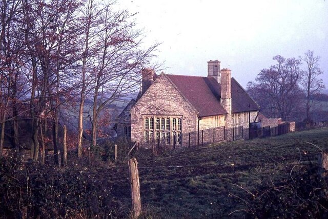
Image: © Richard Park Taken: Unknown
Barrow Gurney Primary School finally closed in 1966 as it had only six pupils. The building was then converted into a private dwelling.
Images are licensed for reuse under creativecommons.org/licenses/by-sa/2.0
Image Location
Latitude
51.409403
Longitude
-2.680737