Blossom at the top of The Slade
Introduction
The photograph on this page of Blossom at the top of The Slade by Marathon as part of the Geograph project.
The Geograph project started in 2005 with the aim of publishing, organising and preserving representative images for every square kilometre of Great Britain, Ireland and the Isle of Man.

There are currently over 7.5m images from over 14,400 individuals and you can help contribute to the project by visiting https://www.geograph.org.uk
Blossom at the top of The Slade
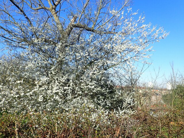
Image: © Marathon Taken: 9 Mar 2021
The Slade is a ravine on Plumstead Common with a pond at the bottom. This view looks across to the houses on the slopes above Roydene Road. See also https://www.geograph.org.uk/photo/6448476
Images are licensed for reuse under creativecommons.org/licenses/by-sa/2.0
Image Location
Latitude
51.480626
Longitude
0.089023