A hillside of houses in Plumstead
Introduction
The photograph on this page of A hillside of houses in Plumstead by Marathon as part of the Geograph project.
The Geograph project started in 2005 with the aim of publishing, organising and preserving representative images for every square kilometre of Great Britain, Ireland and the Isle of Man.

There are currently over 7.5m images from over 14,400 individuals and you can help contribute to the project by visiting https://www.geograph.org.uk
A hillside of houses in Plumstead
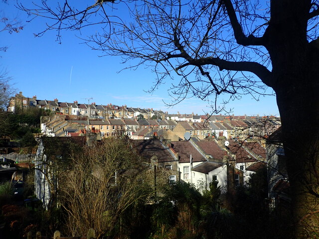
Image: © Marathon Taken: 9 Mar 2021
Plumstead Common is as near to the North of England or South Wales as you can get in London. It has ravines, steep steps and houses built up hillsides. This view is from steps leading from Lakedale Road down the side of the ravine known as The Slade and its pond, as seen at https://www.geograph.org.uk/photo/6732531 The backs of the houses in Chestnut Rise are at the top here, while below those are the houses in Tormount Road and at the very bottom are houses in Roydene Road.
Images are licensed for reuse under creativecommons.org/licenses/by-sa/2.0
Image Location
Latitude
51.482089
Longitude
0.08765