4 & 6 Chart Way
Introduction
The photograph on this page of 4 & 6 Chart Way by Ian Capper as part of the Geograph project.
The Geograph project started in 2005 with the aim of publishing, organising and preserving representative images for every square kilometre of Great Britain, Ireland and the Isle of Man.

There are currently over 7.5m images from over 14,400 individuals and you can help contribute to the project by visiting https://www.geograph.org.uk
4 & 6 Chart Way
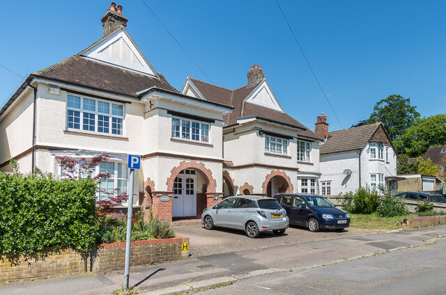
Image: © Ian Capper Taken: 15 May 2020
Pair of houses in Chart Way, a road developed in the c.1920s following the demolition of Reigate Lodge. Although all houses in the road now have numbers, the 1963-4 1:2,500 marks them all with names: Grasmere for no 6 (nearest), Barfield for no 4 and Ellaway for no 2 (on the far right).
Images are licensed for reuse under creativecommons.org/licenses/by-sa/2.0
Image Location
Latitude
51.240032
Longitude
-0.200319