Howard Court
Introduction
The photograph on this page of Howard Court by Ian Capper as part of the Geograph project.
The Geograph project started in 2005 with the aim of publishing, organising and preserving representative images for every square kilometre of Great Britain, Ireland and the Isle of Man.

There are currently over 7.5m images from over 14,400 individuals and you can help contribute to the project by visiting https://www.geograph.org.uk
Howard Court
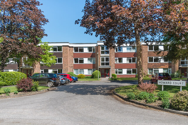
Image: © Ian Capper Taken: 15 May 2020
c.1970s apartment block on Doods Park Road built on the site of a large late 19th/early 20th Century house named Rannoch Lodge.
Images are licensed for reuse under creativecommons.org/licenses/by-sa/2.0
Image Location
Latitude
51.239395
Longitude
-0.188725