Junction of Tunnel Hill and Laurel Road, Worcester
Introduction
The photograph on this page of Junction of Tunnel Hill and Laurel Road, Worcester by Chris Allen as part of the Geograph project.
The Geograph project started in 2005 with the aim of publishing, organising and preserving representative images for every square kilometre of Great Britain, Ireland and the Isle of Man.

There are currently over 7.5m images from over 14,400 individuals and you can help contribute to the project by visiting https://www.geograph.org.uk
Junction of Tunnel Hill and Laurel Road, Worcester
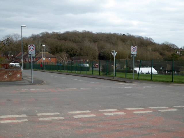
Image: © Chris Allen Taken: 6 Mar 2021
Laurel Road leads out of sight to the left and Tunnel Hill is straight ahead and also to the right behind the photographer. The green railings are delimiting the playing fields of Gorse Hill Community Primary School. The woods beyond cover Gorse Hill.
Images are licensed for reuse under creativecommons.org/licenses/by-sa/2.0
Image Location
Latitude
52.201697
Longitude
-2.201583