Part of benchmark on #99 Newborough Road
Introduction
The photograph on this page of Part of benchmark on #99 Newborough Road by Roger Templeman as part of the Geograph project.
The Geograph project started in 2005 with the aim of publishing, organising and preserving representative images for every square kilometre of Great Britain, Ireland and the Isle of Man.

There are currently over 7.5m images from over 14,400 individuals and you can help contribute to the project by visiting https://www.geograph.org.uk
Part of benchmark on #99 Newborough Road
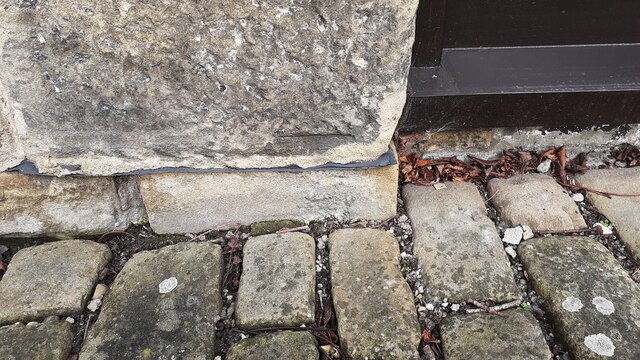
Image: © Roger Templeman Taken: 4 Mar 2021
Datum cut of Ordnance Survey cut mark benchmark on jamb of window of house. I suspect the stone has been moved since the mark was verified in 1962 when it was 60cm above ground level. The mark is described on the Bench Mark Database at www.bench-marks.org.uk/bm94167.
Images are licensed for reuse under creativecommons.org/licenses/by-sa/2.0
Image Location
Latitude
53.961024
Longitude
-2.011395