Thompson
Introduction
The photograph on this page of Thompson by Stephen McKay as part of the Geograph project.
The Geograph project started in 2005 with the aim of publishing, organising and preserving representative images for every square kilometre of Great Britain, Ireland and the Isle of Man.

There are currently over 7.5m images from over 14,400 individuals and you can help contribute to the project by visiting https://www.geograph.org.uk
Thompson
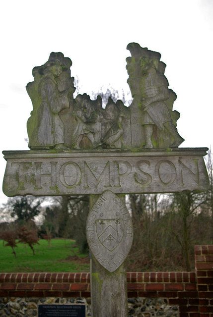
Image: © Stephen McKay Taken: 3 Feb 2008
In common with many other East Anglian villages, Thompson has a distinctive village sign. There is reference to the fact that St Martin's was endowed as a collegiate church in 1350, until the college was dissolved in 1541. This was a period of prosperity and importance for Thompson.
Images are licensed for reuse under creativecommons.org/licenses/by-sa/2.0
Image Location
Latitude
52.534003
Longitude
0.830983