South Beverley bridleway
Introduction
The photograph on this page of South Beverley bridleway by Paul Harrop as part of the Geograph project.
The Geograph project started in 2005 with the aim of publishing, organising and preserving representative images for every square kilometre of Great Britain, Ireland and the Isle of Man.

There are currently over 7.5m images from over 14,400 individuals and you can help contribute to the project by visiting https://www.geograph.org.uk
South Beverley bridleway
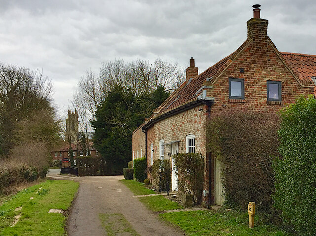
Image: © Paul Harrop Taken: 5 Mar 2021
This public path leads south from Long Lane and crosses the Hull-Beverley rail line at England Springs Crossing. The west towers of Beverley Minster can be seen in the distance through the trees.
Images are licensed for reuse under creativecommons.org/licenses/by-sa/2.0
Image Location
Latitude
53.835356
Longitude
-0.423392