The top of Barn Hill
Introduction
The photograph on this page of The top of Barn Hill by Neil Owen as part of the Geograph project.
The Geograph project started in 2005 with the aim of publishing, organising and preserving representative images for every square kilometre of Great Britain, Ireland and the Isle of Man.

There are currently over 7.5m images from over 14,400 individuals and you can help contribute to the project by visiting https://www.geograph.org.uk
The top of Barn Hill
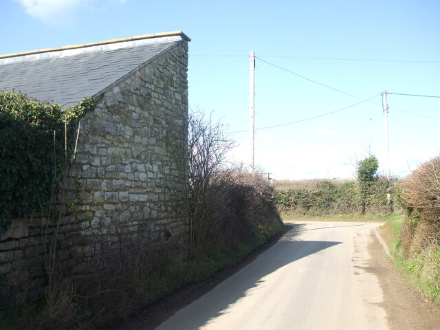
Image: © Neil Owen Taken: 26 Feb 2021
A barn, now apparently a residential building, at the junction with White Hill. An old benchmark can just about be found hiding behind a thick shrub trunk - see Image
Images are licensed for reuse under creativecommons.org/licenses/by-sa/2.0
Image Location
Latitude
51.308072
Longitude
-2.408668