Path towards Rowley Farm
Introduction
The photograph on this page of Path towards Rowley Farm by Robin Webster as part of the Geograph project.
The Geograph project started in 2005 with the aim of publishing, organising and preserving representative images for every square kilometre of Great Britain, Ireland and the Isle of Man.

There are currently over 7.5m images from over 14,400 individuals and you can help contribute to the project by visiting https://www.geograph.org.uk
Path towards Rowley Farm
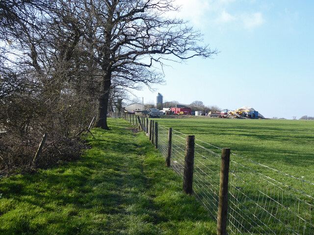
Image: © Robin Webster Taken: 28 Feb 2021
This appears to be an unofficial diversion of bridleway 352Sy. It is mapped as running on the track on the other side of the hedge, but that is in active use by the waste processing business here.
Images are licensed for reuse under creativecommons.org/licenses/by-sa/2.0
Image Location
Latitude
51.14152
Longitude
-0.169928