Footpath 353Sy at Rowley Farm
Introduction
The photograph on this page of Footpath 353Sy at Rowley Farm by Robin Webster as part of the Geograph project.
The Geograph project started in 2005 with the aim of publishing, organising and preserving representative images for every square kilometre of Great Britain, Ireland and the Isle of Man.

There are currently over 7.5m images from over 14,400 individuals and you can help contribute to the project by visiting https://www.geograph.org.uk
Footpath 353Sy at Rowley Farm
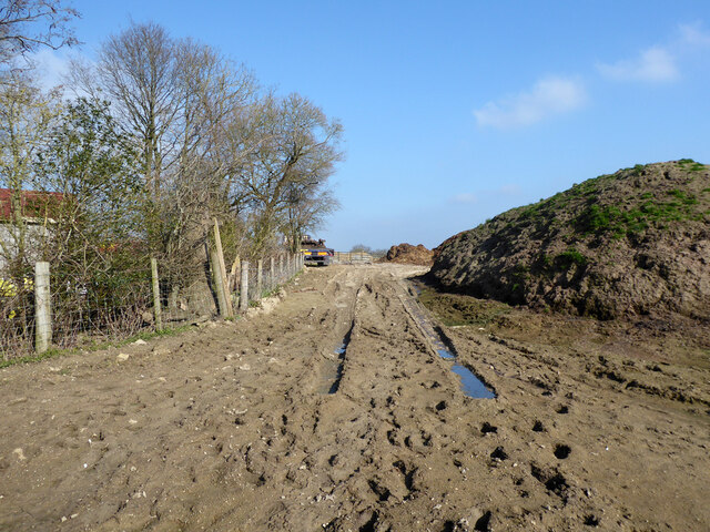
Image: © Robin Webster Taken: 28 Feb 2021
Towards its junction with bridleway 352Sy. They are not too protective of the state of the footpath here. The mud was very soft.
Images are licensed for reuse under creativecommons.org/licenses/by-sa/2.0
Image Location
Latitude
51.140482
Longitude
-0.172542