Bath Terrace, Tynemouth
Introduction
The photograph on this page of Bath Terrace, Tynemouth by Geoff Holland as part of the Geograph project.
The Geograph project started in 2005 with the aim of publishing, organising and preserving representative images for every square kilometre of Great Britain, Ireland and the Isle of Man.

There are currently over 7.5m images from over 14,400 individuals and you can help contribute to the project by visiting https://www.geograph.org.uk
Bath Terrace, Tynemouth
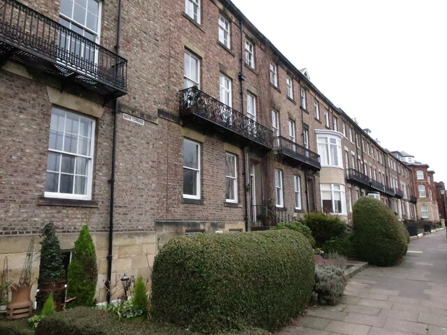
Image: © Geoff Holland Taken: 2 Mar 2021
Each of the original 11 houses in this fine terrace, which was built in about 1830, is Grade II Listed although many have had substantial, slightly unsympathetic, alteration to their frontages. When built, each house had a separate garden on the southern side of the street, all of which are still in situ. For a selection of detailed free to download walking routes in the area visit www.northtynesidewalks.co.uk
Images are licensed for reuse under creativecommons.org/licenses/by-sa/2.0
Image Location


Leaflet Map data © OpenStreetMap
Latitude
55.016889
Longitude
-1.425085