Kelvin Way, Crawley
Introduction
The photograph on this page of Kelvin Way, Crawley by Robin Webster as part of the Geograph project.
The Geograph project started in 2005 with the aim of publishing, organising and preserving representative images for every square kilometre of Great Britain, Ireland and the Isle of Man.

There are currently over 7.5m images from over 14,400 individuals and you can help contribute to the project by visiting https://www.geograph.org.uk
Kelvin Way, Crawley
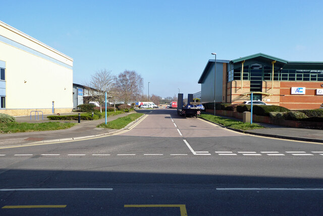
Image: © Robin Webster Taken: 28 Feb 2021
A road in the industrial area running between Faraday Road and Newton Road.
Images are licensed for reuse under creativecommons.org/licenses/by-sa/2.0
Image Location
Latitude
51.132011
Longitude
-0.177165