Where White Hill becomes Rag Hill
Introduction
The photograph on this page of Where White Hill becomes Rag Hill by Neil Owen as part of the Geograph project.
The Geograph project started in 2005 with the aim of publishing, organising and preserving representative images for every square kilometre of Great Britain, Ireland and the Isle of Man.

There are currently over 7.5m images from over 14,400 individuals and you can help contribute to the project by visiting https://www.geograph.org.uk
Where White Hill becomes Rag Hill
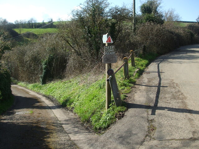
Image: © Neil Owen Taken: 26 Feb 2021
This junction features a third road, although it's a short one to Lower Shoscombe Farm and the cottages. Care needs to be taken not to fall foul of the sharp drop at the hairpin.
Images are licensed for reuse under creativecommons.org/licenses/by-sa/2.0
Image Location
Latitude
51.306169
Longitude
-2.413098