Pond at Oakend Lea
Introduction
The photograph on this page of Pond at Oakend Lea by Des Blenkinsopp as part of the Geograph project.
The Geograph project started in 2005 with the aim of publishing, organising and preserving representative images for every square kilometre of Great Britain, Ireland and the Isle of Man.

There are currently over 7.5m images from over 14,400 individuals and you can help contribute to the project by visiting https://www.geograph.org.uk
Pond at Oakend Lea
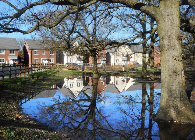
Image: © Des Blenkinsopp Taken: 26 Feb 2021
Not a permanent pond, as you can see by the trees growing in it, but an area in the centre of a new housing development that has been set aside to store storm runoff water after heavy rain.
Images are licensed for reuse under creativecommons.org/licenses/by-sa/2.0
Image Location


Leaflet Map data © OpenStreetMap
Latitude
51.604898
Longitude
-1.220367