Cock Road flush bracket
Introduction
The photograph on this page of Cock Road flush bracket by Neil Owen as part of the Geograph project.
The Geograph project started in 2005 with the aim of publishing, organising and preserving representative images for every square kilometre of Great Britain, Ireland and the Isle of Man.

There are currently over 7.5m images from over 14,400 individuals and you can help contribute to the project by visiting https://www.geograph.org.uk
Cock Road flush bracket
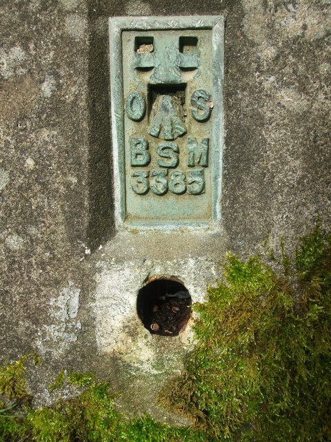
Image: © Neil Owen Taken: 23 Feb 2021
This fourth order pillar bears this benchmark in the locally common 'BsM' style. See Image] for the wide view.
Images are licensed for reuse under creativecommons.org/licenses/by-sa/2.0
Image Location
Latitude
51.453333
Longitude
-2.490701