Hetherwood Lodge
Introduction
The photograph on this page of Hetherwood Lodge by Ian Capper as part of the Geograph project.
The Geograph project started in 2005 with the aim of publishing, organising and preserving representative images for every square kilometre of Great Britain, Ireland and the Isle of Man.

There are currently over 7.5m images from over 14,400 individuals and you can help contribute to the project by visiting https://www.geograph.org.uk
Hetherwood Lodge
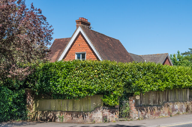
Image: © Ian Capper Taken: 15 May 2020
1860s lodge at the junction of Doods Road and Wray Common Road, possibly originally serving a house in Doods Road called Lexden House (since demolished), and later included in the grounds of Hetherwood, now nos 92 - 94 Doods Road (see Image).
Images are licensed for reuse under creativecommons.org/licenses/by-sa/2.0
Image Location
Latitude
51.241261
Longitude
-0.188451