Quayside House, Quay Street, Gloucester
Introduction
The photograph on this page of Quayside House, Quay Street, Gloucester by Stephen Richards as part of the Geograph project.
The Geograph project started in 2005 with the aim of publishing, organising and preserving representative images for every square kilometre of Great Britain, Ireland and the Isle of Man.

There are currently over 7.5m images from over 14,400 individuals and you can help contribute to the project by visiting https://www.geograph.org.uk
Quayside House, Quay Street, Gloucester
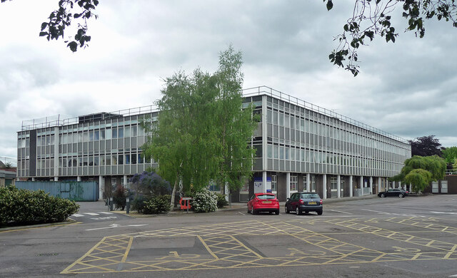
Image: © Stephen Richards Taken: 17 May 2015
A large curtain-walled extension to council offices built c1968 by Philip Davison, County Architect. Since demolished.
Images are licensed for reuse under creativecommons.org/licenses/by-sa/2.0
Image Location
Latitude
51.86616
Longitude
-2.251198