Field south of Wycombe Air Park
Introduction
The photograph on this page of Field south of Wycombe Air Park by James Emmans as part of the Geograph project.
The Geograph project started in 2005 with the aim of publishing, organising and preserving representative images for every square kilometre of Great Britain, Ireland and the Isle of Man.

There are currently over 7.5m images from over 14,400 individuals and you can help contribute to the project by visiting https://www.geograph.org.uk
Field south of Wycombe Air Park
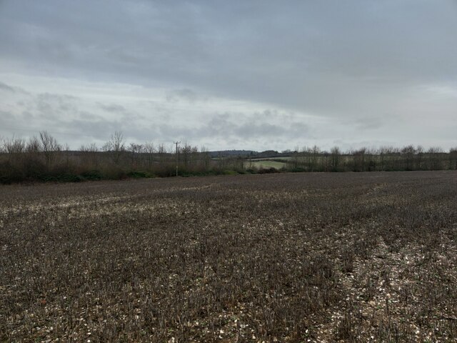
Image: © James Emmans Taken: 25 Feb 2021
A field that is a part of a large farming area surrounded by 8 farms. Airfield website : http://www.wycombeairpark.co.uk/
Images are licensed for reuse under creativecommons.org/licenses/by-sa/2.0
Image Location
Latitude
51.595013
Longitude
-0.804182