Houses of Creighton Avenue at Dalton Avenue junction
Introduction
The photograph on this page of Houses of Creighton Avenue at Dalton Avenue junction by Luke Shaw as part of the Geograph project.
The Geograph project started in 2005 with the aim of publishing, organising and preserving representative images for every square kilometre of Great Britain, Ireland and the Isle of Man.

There are currently over 7.5m images from over 14,400 individuals and you can help contribute to the project by visiting https://www.geograph.org.uk
Houses of Creighton Avenue at Dalton Avenue junction
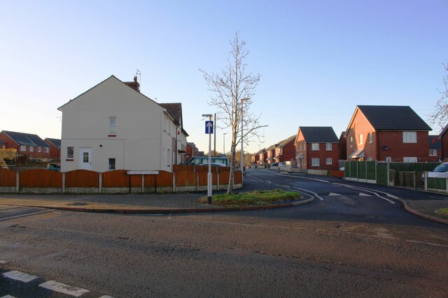
Image: © Luke Shaw Taken: 29 Nov 2019
Ordnance Survey records indicate that a benchmark levelled at 25.521m above Newlyn Datum was verified in 1972 on the side of the nearest house on the left hand side of Creighton Avenue (#48). The house is now rendered with loss of the benchmark. See www.bench-marks.org.uk/bm114984
Images are licensed for reuse under creativecommons.org/licenses/by-sa/2.0
Image Location
Latitude
54.890878
Longitude
-2.961572