Ennis Road, Plumstead Common
Introduction
The photograph on this page of Ennis Road, Plumstead Common by Marathon as part of the Geograph project.
The Geograph project started in 2005 with the aim of publishing, organising and preserving representative images for every square kilometre of Great Britain, Ireland and the Isle of Man.

There are currently over 7.5m images from over 14,400 individuals and you can help contribute to the project by visiting https://www.geograph.org.uk
Ennis Road, Plumstead Common
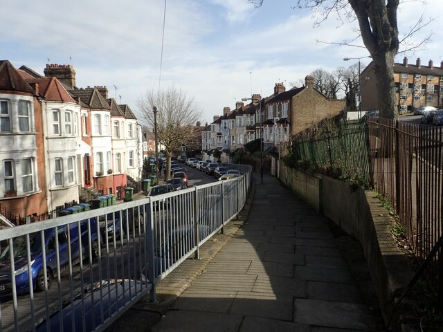
Image: © Marathon Taken: 20 Feb 2021
In many ways the roads around Plumstead Common are very like the North of England, rather than London. Here Ennis Road is on the left and Upton Road on the right.
Images are licensed for reuse under creativecommons.org/licenses/by-sa/2.0
Image Location
Latitude
51.478656
Longitude
0.07842