Route of tramway at Wingate Quarry
Introduction
The photograph on this page of Route of tramway at Wingate Quarry by Roger Muggleton as part of the Geograph project.
The Geograph project started in 2005 with the aim of publishing, organising and preserving representative images for every square kilometre of Great Britain, Ireland and the Isle of Man.

There are currently over 7.5m images from over 14,400 individuals and you can help contribute to the project by visiting https://www.geograph.org.uk
Route of tramway at Wingate Quarry
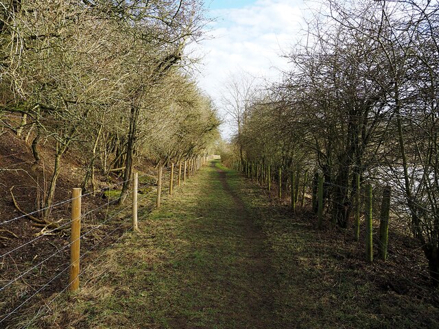
Image: © Roger Muggleton Taken: 21 Feb 2021
Along here a tramway once ran. This connected Wingate Quarry to the railway at Trimdon, via Deaf Hill Colliery. A few old fence posts remain, and recently this area has been re-fenced as a footpath open to the public.
Images are licensed for reuse under creativecommons.org/licenses/by-sa/2.0
Image Location
Latitude
54.729812
Longitude
-1.414868