Canalside housing near Buckpool, Dudley
Introduction
The photograph on this page of Canalside housing near Buckpool, Dudley by Roger Kidd as part of the Geograph project.
The Geograph project started in 2005 with the aim of publishing, organising and preserving representative images for every square kilometre of Great Britain, Ireland and the Isle of Man.

There are currently over 7.5m images from over 14,400 individuals and you can help contribute to the project by visiting https://www.geograph.org.uk
Canalside housing near Buckpool, Dudley
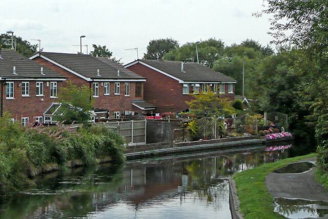
Image: © Roger Kidd Taken: 27 Aug 2010
The houses are in Brierley Hill Road (the B4180) and seen with telephoto assistance from the Stourbridge Locks No 3, on another wet day. This is the Stourbridge Canal.
Images are licensed for reuse under creativecommons.org/licenses/by-sa/2.0
Image Location
Latitude
52.481284
Longitude
-2.145435