Murley Grange, Bishopsteignton
Introduction
The photograph on this page of Murley Grange, Bishopsteignton by Derek Harper as part of the Geograph project.
The Geograph project started in 2005 with the aim of publishing, organising and preserving representative images for every square kilometre of Great Britain, Ireland and the Isle of Man.

There are currently over 7.5m images from over 14,400 individuals and you can help contribute to the project by visiting https://www.geograph.org.uk
Murley Grange, Bishopsteignton
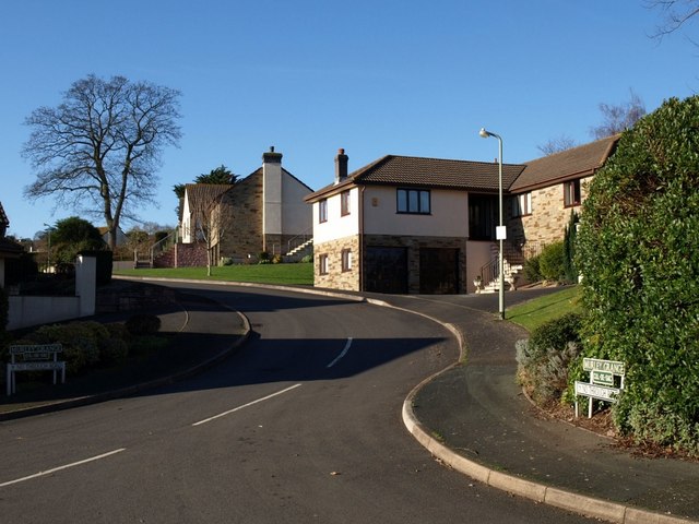
Image: © Derek Harper Taken: 27 Jan 2008
To the west of Bishopsteignton village centre, new housing has appeared, often on the site of demolished large houses. Murley Grange was replaced by this development in 1989. This lies just outside the conservation area which has been established to try and conserve what remains of the village's traditional character. Seen from Forder Lane.
Images are licensed for reuse under creativecommons.org/licenses/by-sa/2.0
Image Location


Leaflet Map data © OpenStreetMap
Latitude
50.553003
Longitude
-3.550015